
Introduction
drone technology has emerged as a powerful tool in the realm of environmental surveillance. As the world faces pressing issues like climate change and biodiversity loss, these flying devices are increasingly essential. They offer innovative solutions for monitoring and preserving our environment.
Current trends in environmental engineering emphasize the importance of sustainability. By using drones, researchers and conservationists can gather crucial data without disturbing delicate ecosystems. For instance, precise wildlife monitoring using drones allows for better understanding of animal populations. This insight helps inform conservation strategies.
Moreover, drones can assess air quality in urban areas. They map pollution sources and track changes over time. Such data collection is vital for creating smart cities that prioritize healthier living conditions. Remote sensing capabilities enable more accurate readings, supporting human efforts to combat environmental challenges.
In agriculture, precision farming has benefited greatly from unmanned aerial vehicles. Farmers utilize drones to monitor crop health efficiently. This practice not only improves yields but also reduces resource waste. The result is a more sustainable approach to food production that considers environmental impact.
Finally, these devices play a key role in disaster response. Drones can quickly survey damaged regions after natural disasters, providing critical information to responders. This capability improves recovery efforts while ensuring human safety. The versatility of drones will likely make them indispensable in our ongoing fight to care for the planet.
Advancements in drone technology
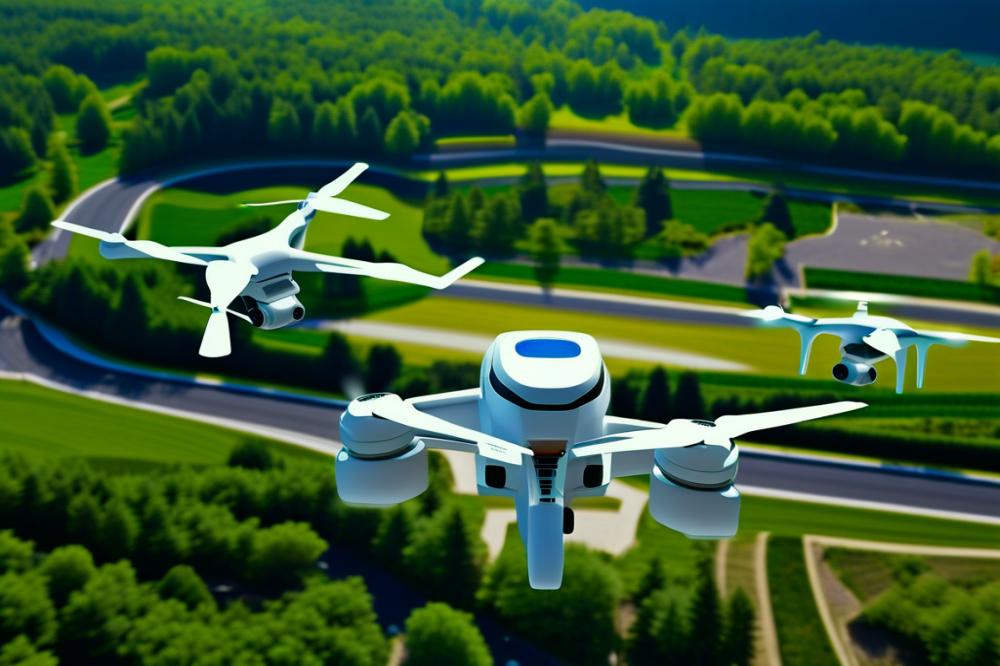
Recent advancements in drone capabilities have opened new possibilities for environmental surveillance. Improved sensors now capture high-resolution images and gather data more effectively than before. This allows for detailed wildlife monitoring in their natural habitats. Enhanced sensors can measure factors like air quality and temperature, enabling better understanding of ecosystems.
Longer flight times mean drones can cover larger areas without needing to recharge. This is particularly important for monitoring remote zones affected by climate change. Environmental researchers can deploy these drones over vast landscapes to gather vital information that supports conservation efforts. When combined with remote sensing technology, drones can detect changes in land use and habitats quickly.
Data collection has become much more efficient. Drones can transmit data in real-time, allowing scientists to analyze information on-the-fly. Such rapid processing paves the way for immediate action, especially in disaster response scenarios. For example, post-disaster assessments become easier and more effective with aerial views that capture the extent of damage.
In urban settings, drones play a crucial role in smart cities. They monitor pollution levels and track urban wildlife, helping city planners enhance sustainability. This technology aids in precision agriculture by providing farmers with insights on crop health and soil conditions. Ultimately, the refined capabilities of drones contribute to achieving environmental goals and mitigating the impacts of climate change.
Drones are not just tools for observation. Their intuitive designs often incorporate machine learning for predictive analysis. This means that over time, drones can learn from the data they gather, improving the accuracy of their assessments. Enhanced data processing capabilities support better decision-making for conservationists and environmental scientists alike.
Adopting these advancements translates into more effective wildlife monitoring and preservation efforts. The agility of drones allows researchers to adapt quickly to new challenges. As technology continues to evolve, so will the potential impacts for environmental stewardship. Innovative drone applications present exciting opportunities for a healthier planet.
Applications in Wildlife Monitoring and Conservation
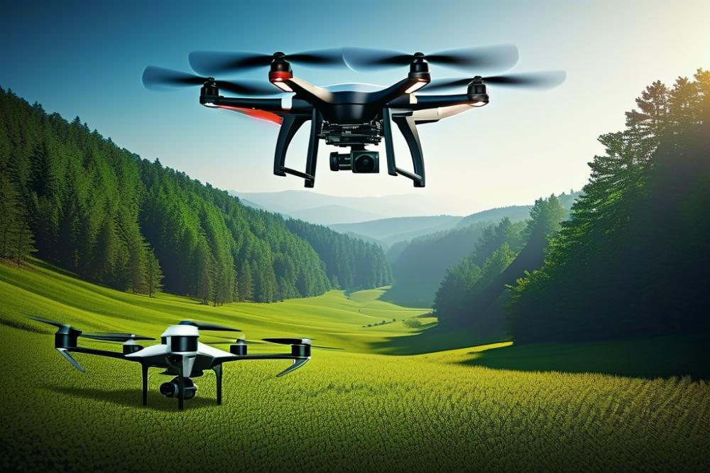
Drones offer innovative solutions for wildlife monitoring and conservation. These tools gather data that researchers need to protect endangered species. Remote sensing is one key application. With this technology, it is possible to map habitats from the sky.
The ability to collect data efficiently plays a big role in conservation efforts. Drones can survey large areas quickly. This means scientists can keep an eye on animal populations that are often difficult to reach. They can track movement patterns and understand behaviors better than before.
In addition, drones help monitor air quality in these habitats. Pollution impacts wildlife, and looking from above provides critical insights. Monitoring changes in climate is essential. Drones can track how animals adapt to shifting environments caused by climate change.
Habitat mapping is another area where drone technology excels. It helps pinpoint critical areas that need protection. It also allows for targeted conservation measures. Within this context, precision agriculture uses drones to minimize environmental impacts. By understanding land use, we can promote sustainability.
Drones are also vital in disaster response for wildlife. When natural disasters occur, drones assess damage and help rescue efforts. Animals in distress require immediate attention. These quick evaluations help teams act effectively and efficiently.
In smart cities, drones can monitor urban wildlife. City planners can learn how animals adapt to urban environments. This understanding fosters a balance between development and nature.
Innovative solutions lead to improved outcomes for wildlife. Researchers who integrate drones into their work can reach unprecedented heights in data collection. Each flight provides unique views, creating a deeper understanding of the ecological challenges we face. The future of conservation could be profoundly affected by these advancements.
Monitoring Air Quality and Climate Change
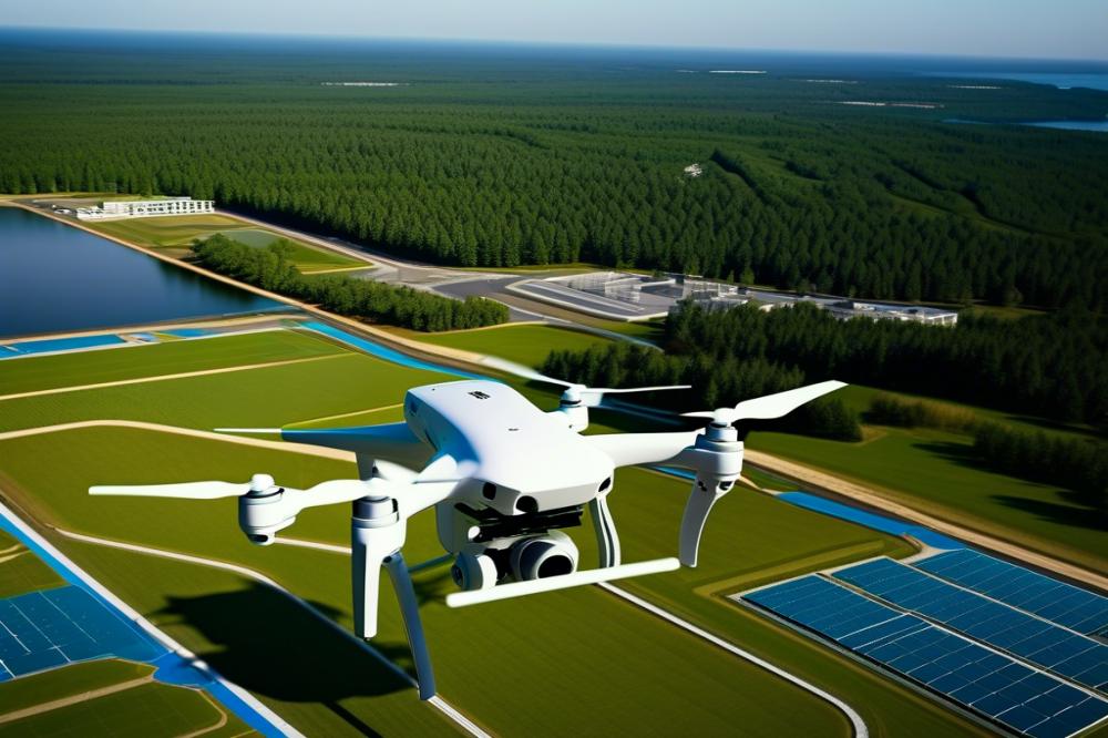
Drones are changing how we understand air quality and climate change. They provide a unique way to collect data in hard-to-reach areas. By utilizing remote sensing, researchers can measure emissions more effectively. This technology allows for real-time monitoring of pollutants. Knowing the levels of harmful substances in our atmosphere is crucial for public health.
Many cities are adopting drones to track air quality. These devices gather information from various locations. They detect patterns that indicate pollution sources. This data can influence local environmental policies. As urban areas grow, better air quality management becomes essential. Smart cities are already embracing this technology for sustainability.
Climate change also requires innovative solutions. Drones support conservation efforts by monitoring wildlife habitats. Tracking changes in ecosystems helps scientists predict future trends. Moreover, precision agriculture can benefit from drone insights. Farmers gain valuable information about soil health and crop conditions. This knowledge aids in reducing chemical use and promotes sustainability.
Disaster response efforts rely on timely data collection. Drones assess damage after natural disasters quickly. This information is vital for properly addressing emergencies. They fly over affected regions, providing imagery that can guide recovery efforts. Such rapid responses can save lives and protect ecological systems.
Integrating drone data into climate action strategies represents a significant step forward. Policymakers can develop targeted plans based on accurate information. Understanding air quality is not just about today. It’s about preparing for future challenges. Engaging the community in these efforts can enhance awareness. Conversations about air quality will shape a more informed society.
Remote Sensing and Precision Agriculture
Farmers today face many challenges. Climate change has made weather patterns unpredictable. Food security is at risk worldwide. Thankfully, drones have emerged as a powerful tool in agriculture. Their high-tech capabilities allow for effective remote sensing.
Using drones, farmers can monitor crop health with incredible accuracy. These flying machines capture detailed images of fields. Advanced sensors track how plants respond to various conditions. This data collection is crucial. It enables farmers to detect issues before they escalate. Early interventions can save crops from diseases or pests.
Soil monitoring is another important use of drones. Soil quality affects everything from crop yield to resource management. Drones can analyze soil moisture levels over large areas. Farmers can adjust their irrigation practices based on this information. This leads to more efficient water use and supports sustainability efforts.
Resource management becomes easier with real-time data. Farmers can decide where to apply fertilizers or pesticides effectively. Targeting specific areas reduces waste. It also lessens the environmental impact of farming practices. This approach echoes the principles of precision agriculture.
In addition, drones play a key role in conservation and wildlife monitoring. They provide a safer way to observe habitats without disturbing wildlife. Their aerial views assist in tracking animal populations. This can aid in efforts to maintain biodiversity, especially as urban areas expand into natural habitats.
Air quality monitoring is another exciting application. Unmanned aerial vehicles can measure airborne pollutants. When linked to smart cities, this information can inform urban planning. Knowing about air quality helps communities take action against pollution.
Drones also shine in disaster response. They can survey damage after natural catastrophes, assessing affected areas quickly. This immediate data collection is vital for efficient relief efforts. By understanding the impact of disasters, governments can enhance their response strategies.
Overall, the future looks promising for these technological innovations in agriculture. By harnessing the power of aerial imagery and sensor technology, farmers can work smarter. Enhanced insights into crop health, soil conditions, and resource allocation will transform how farming is done.
Disaster Response and Management
Drones play a vital role in responding to natural disasters. When severe floods strike or wildfires spread, these devices can provide critical support. Emergency services benefit greatly from having real-time information. Accurate data collection allows them to make informed decisions swiftly.
In situations involving climate change, rapid response is even more important. Drones enhance air quality monitoring during disasters. This information helps agencies understand the impact of smoke and pollutants on public health. The ability to gather data from above can contribute significantly to disaster management efforts.
Remote sensing is another valuable feature. By surveying affected areas, drones can identify damage accurately. This capability aids in the assessment and allocation of resources. Many communities rely on this efficiency during recovery periods. The information gathered will also support wildlife monitoring. Understanding how a disaster affects local ecosystems is essential for overall conservation.
Innovatively, drones can assist in precision agriculture. This technology ensures that crops can be replanted effectively in areas impacted by environmental events. Farmers can also receive assistance in checking the health of their land from above. During these crises, supporting smart cities becomes increasingly important.
Constant vigilance is necessary during and after disasters. Drones equipped with cameras can monitor ongoing dangers. They provide a perspective that humans often miss from the ground. This unique advantage can be lifesaving in chaotic situations. Making timely interventions relies heavily on the data gathered from aerial views.
As we move towards a future impacted by climate change, the integration of drone technology in disaster response becomes apparent. Communities can adapt more swiftly with accurate, real-time information. By enhancing efficiency, these tools pave the way for improved disaster management. They represent a shift towards a more sustainable approach in dealing with emergencies.
Integration into Smart Cities
The growth of smart cities relies on modern technology, and drones play a vital role in this evolution. These flying machines can assist in urban planning, providing invaluable data collection. Environmental monitoring becomes more efficient with drones surveying vast areas quickly. By using remote sensing capabilities, cities can track changes in land use and development.
Sustainability is a major goal for urban areas. Drones help monitor air quality by measuring pollutants and assessing their sources. Through consistent data collection, cities gain insights into trends over time. This information allows for informed decisions aimed at reducing emissions, improving residents’ health.
Wildlife monitoring is another critical application. Cities often face challenges in balancing development and conservation. Drones can track animal populations and habitats, offering a better understanding of biodiversity in urban settings. Preserving green spaces and natural habitats is essential for climate change mitigation.
In the realm of precision agriculture, drone technology aids farmers within urban environments. They can efficiently apply fertilizers and pesticides, minimizing waste. This targeted approach supports agricultural sustainability while also boosting crop yields. Integrating these techniques into the city framework helps reduce the ecological footprint of urban farming.
Disaster response stands as a crucial benefit of drone deployment. When calamities strike, drones can quickly assess damage and provide real-time data. This assists emergency services in reaching those in need faster. Resource allocation during these times can become much more effective, saving lives and property.
Smart cities can harness the full potential of drones to enhance everyday living. As a result, communities become more efficient and responsive. Embracing this technology is not just about innovation; it’s about creating healthier and safer environments. People stand to benefit from improved air quality, enhanced safety measures, and better management of urban ecosystems.
Future Trends and Challenges
Drone technology is rapidly evolving, promising significant impacts on environmental surveillance. Innovations in remote sensing and advanced data collection methods will pave the way for new applications. Enhanced sensors will allow for detailed wildlife monitoring and improved air quality assessments. Not only will this technology support conservation efforts, but it will also address climate change by providing critical insights into ecological changes.
Moreover, precision agriculture stands to benefit from these advancements. Farmers can gather and analyze data to optimize crop yields while reducing environmental impact. As smart cities develop, incorporating drones into urban planning will help monitor pollution levels and manage resources more efficiently. Such integration can lead to a more sustainable future, aligning economic growth with environmental preservation.
Despite these promising trends, regulatory challenges loom large. Governments will need to establish comprehensive policies that govern drone usage in sensitive areas. Striking a balance between innovation and privacy rights is crucial. Engaging the public and considering their concerns will help develop regulations that protect, rather than hinder, technological advancements.
Ethical considerations are equally important. The deployment of drones for surveillance can raise questions about data privacy and consent. Collaboration among stakeholders is essential to address these issues responsibly. Environmental organizations, technology developers, and government agencies must work together to create guidelines that foster trust and transparency.
Furthermore, disaster response strategies will benefit from drone capabilities. Drones can quickly assess damage, deliver supplies, and monitor environmental conditions in real-time. This rapid response can save lives and protect communities from further harm. However, coordinated efforts among responders are necessary to maximize effectiveness.
In the face of these challenges, collaboration will be the cornerstone of progress. Academic institutions, private companies, and government entities must unite to share knowledge and resources. As the field of environmental surveillance evolves, it will take a collective effort to address and overcome potential issues, ensuring a brighter future for all.
The Future of Environmental Surveillance
Innovative technology is reshaping our approach to environmental engineering. Drones play an essential role in monitoring ecosystems, mapping habitats, and tracking wildlife. Their ability to carry sophisticated cameras and sensors significantly enhances data collection. This improvement offers insights that were challenging to obtain through traditional means.
As climate change continues to impact our planet, the importance of resilience cannot be overstated. Drones can quickly assess damage after natural disasters. They provide critical information to scientists and responders. Such data helps communities prepare better for future events. This agility is essential for fostering a sustainable environment.
Over time, these flying machines will likely become even more integrated into conservation efforts. They will find applications in pollution monitoring, habitat restoration, and resource management. The potential for these advancements is exciting. Communities that adopt drone technology could thrive despite environmental challenges.
Ultimately, the fusion of drone capabilities with environmental science can lead to a more sustainable future. We can unlock new possibilities for protecting our ecosystems. With keen observation, better decisions can be made to support our planet. Embracing these changes is not just a trend; it’s a necessary step toward a more resilient world.


