
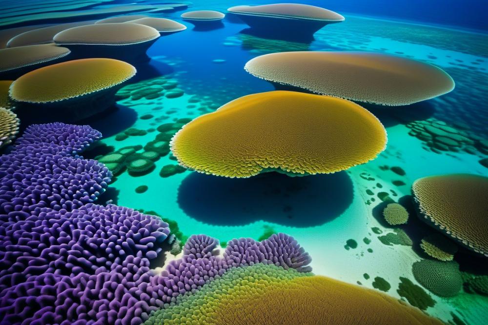
The Science of Using drones to Map Coral Reef Systems
Coral reef systems represent some of the most vibrant and diverse ecosystems in our oceans. They provide essential habitats for countless marine species, contributing to global biodiversity. These underwater paradises are often referred to as the “rainforests of the sea.” Not only do they host a wide variety of fish and invertebrates, but they also protect coastlines and support fisheries. Healthy reefs offer natural beauty and also play a critical role in marine ecology.
As environmental challenges like climate change and pollution threaten these ecosystems, innovative solutions become necessary. One such advancement in research technology is the use of drones. Capable of conducting aerial imagery, these tools allow scientists to gather data with great efficiency. Through remote sensing, researchers can assess and monitor the health of coral reefs without disturbing the habitats. Furthermore, underwater drones enhance this process by providing a detailed look at the reef structures and living organisms beneath the surface.
This article aims to explore how these technologies impact coral reef mapping. Understanding the dynamics of coral ecosystems is vital for conservation efforts. By utilizing 3D mapping techniques, scientists can create accurate models of reef health. These models allow for informed decisions regarding habitat assessment and restoration. Ultimately, better data collection leads to more effective conservation strategies. The significance of this research extends beyond academic interests. It serves as a crucial part of protecting our oceans for future generations.
Drones and Their Applications in Marine Ecology
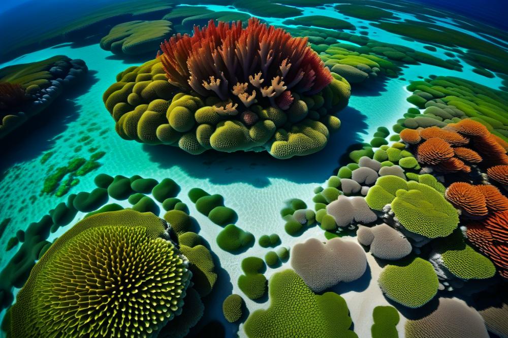
Different types of drones serve various purposes in marine environments. Some models fly high above the water, collecting aerial imagery. These units provide stunning views of coral reefs and help researchers analyze the health of these ecosystems. Others dive underwater, capturing details not visible from the surface. underwater drones can reach depths and angles that traditional methods struggle to achieve.
The Importance of Aerial Imagery
Aerial imagery plays a critical role in assessing coral reef ecosystems. By using high-resolution images, scientists can monitor changes over time. Regular observations help track issues like coral bleaching and the effects of climate change. Detailed visual data allow for better habitat assessments and contribute to effective conservation efforts. This imagery not only shows what is happening on the reefs but also provides insight into the surrounding marine life and overall biodiversity.
Enhancing Monitoring with remote sensing
Remote sensing technology drastically improves reef monitoring and data collection. Various sensors collect information about water quality, temperature, and light levels. This data gives researchers a clearer view of the conditions affecting coral reefs. It also helps in understanding how these habitats respond to environmental changes. Furthermore, 3D mapping techniques create detailed models that illustrate the complexity of reef structures. These models reveal how reefs shape the marine landscape and support diverse species.
In summary, all these tools work together to advance marine ecology. By using different types of drones, researchers gather invaluable data. This information drives efforts in conservation and informs strategies to protect fragile ecosystems.
Using Underwater Drones for Habitat Assessment
Introduction to Underwater Drones and Their Features
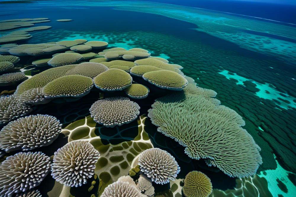
Underwater drones are advanced tools used in marine ecology. They operate beneath the surface of the water, allowing researchers to explore coral reefs safely. Equipped with high-definition cameras, these devices capture vivid images of underwater habitats. Many models also possess sonar and remote sensing capabilities. These features help gather crucial information about the structure of coral reefs and the organisms living within them.
Techniques for Underwater Data Collection in Coral Habitats
For effective habitat assessment, various techniques can be employed. One common method involves 3D mapping, which creates detailed models of the reef. Researchers can analyze these models to understand physical features and coral health. Additionally, measuring water quality parameters enhances the understanding of the surrounding environment. Underwater drones can travel long distances, making it easier to reach difficult areas. They can also collect aerial imagery from various angles, providing a comprehensive view of the reef ecosystem.
Benefits of Underwater Drones in Monitoring Biodiversity and Health of Reefs
Using these devices brings several advantages. For starters, they allow scientists to monitor biodiversity effectively. Observing different species helps assess the overall health of the reef system. Moreover, drones can quickly survey large areas, compared to traditional methods. This speed supports timely environmental monitoring, a key aspect of conservation efforts. Researchers can gather data more frequently, identifying changes in ecosystems before they escalate. Those insights are vital for protecting marine life and habitats, ultimately contributing to a better understanding of coral reef dynamics.
3D Mapping and Environmental Monitoring
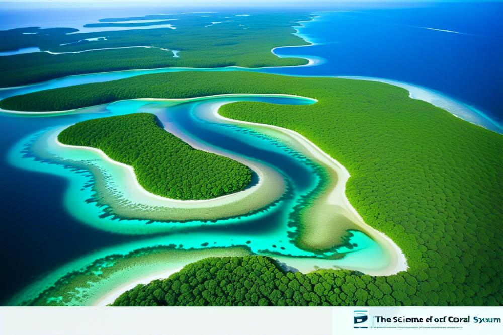
Understanding coral reef structures involves detailed 3D mapping. This type of mapping provides a visual representation of the complex formations found underwater. It shows how different organisms interact within their habitat. With accurate 3D models, scientists can assess the health of marine ecosystems more effectively.
Recent technological advancements have made it easier to create these detailed maps. Remote sensing techniques allow for aerial imagery that captures large areas in high resolution. Using underwater drones, researchers can collect data from hard-to-access locations, further enhancing their understanding of reef systems. Innovations in imaging sensors and software make it possible to create intricate maps of coral structures.
Applications of 3D mapping extend beyond mere visualization. Conservation efforts benefit significantly from this level of detail. Habitat assessment becomes more precise, allowing for targeted intervention strategies. Furthermore, understanding biodiversity within coral reefs helps identify critical areas for protection. Effective environmental monitoring is essential for maintaining the balance of these sensitive ecosystems.
Data collection through these methods contributes to ongoing research. Scientists can track changes in coral health over time and respond to threats like climate change or pollution. Establishing baseline conditions allows for better management of marine resources. Ultimately, these advancements lead to improved strategies for preserving coral reefs and their unique inhabitants.
Case Studies of Drone Applications in Coral Reef Conservation
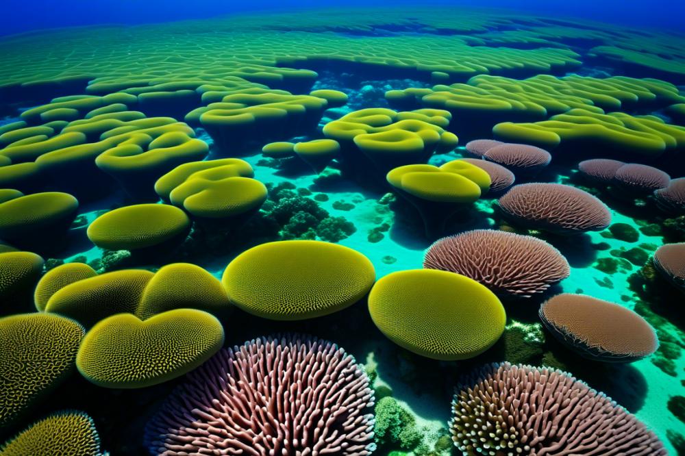
Overview of Successful Case Studies Using Drones for coral reef mapping
One significant case study took place in the Great Barrier Reef, Australia. Researchers used aerial imagery to identify bleaching patterns. By employing remote sensing technology, they could effectively map extensive areas of coral, revealing how climate change impacts marine life. In another study in the Caribbean, scientists deployed underwater drones to gather data on reef structure. This method allowed for high-resolution imagery of the seafloor, which is crucial for understanding biodiversity. Such projects showcase how technology advances habitat assessment.
Impact of Drone Technology on Specific Conservation Projects
Drone use has greatly enhanced conservation efforts in these ecosystems. Accurate 3D mapping helped identify areas needing immediate attention. In Florida, a project utilized aerial drone footage to monitor fish populations. This data collection process improved understanding of species interactions within the reefs. Environmental monitoring became more effective as changes were documented in real-time. Stakeholders, such as NGOs and local communities, engaged more through visual data. Visual evidence of changes garnered public support for crucial conservation policies.
Lessons Learned and Future Directions for Research and Conservation
Several key lessons emerged from these initiatives. Collaboration between scientists and local communities proved vital for success. Trust built between groups led to better data sharing and more robust conservation strategies. Limited understanding of marine ecology can hinder these projects. Thus, education on reef importance is essential. Future applications may include integrating advanced data analytics with real-time monitoring. The potential for further enhancing conservation remains vast. Exploring new technologies could reveal insights into coral health and resilience. Each experience informs the ongoing fight to conserve these vital ecosystems.
Challenges and Future Directions in Drone Research
Limitations and challenges faced in using drones for marine research
Using drones in marine research has many challenges. One limitation is battery life. Most drones cannot operate for long periods. This restricts the area that can be surveyed in one outing. Data collection can become tricky when equipment needs frequent recharging. Weather also plays a significant role. High winds or rain can ground drones, making fieldwork unpredictable.
Challenges in underwater imaging arise as well. Many drones struggle with visibility in murky water. Corals often exist in complex habitats. Accurately assessing these structures can be difficult without clear visuals. Furthermore, data processing demands technical skills. Researchers need expertise to analyze aerial imagery effectively.
Regulatory hurdles present another obstacle. Restrictions on flying in protected areas can limit research. Gaining permissions can be a time-consuming process. Collaboration with local authorities is essential for successful missions.
Future trends in drone technology and its potential for coral reef studies
Exciting advancements are on the horizon. Technology is rapidly improving, which bodes well for marine ecology. Upcoming drones may offer enhanced sensors for better imaging. These improvements could lead to more detailed habitat assessments and 3D mapping of coral reefs. Researchers are eager for this progress.
Remote sensing capabilities continue to evolve. Future tools might allow scientists to gather real-time data more efficiently. With these developments, it becomes easier to monitor biodiversity across vast areas. The ability to track changes over time is critical for effective conservation strategies.
Underwater drones also show great promise. Equipped with special cameras, they could collect valuable data beneath the surface. This information is vital for understanding coral ecosystems. Furthermore, combining aerial and underwater data enhances research outcomes. Integrative approaches lead to richer insights into marine life.
Importance of interdisciplinary approaches in advancing conservation efforts
Combining various scientific disciplines is crucial for successful conservation. Marine biology, technology, and environmental science must work together. Each field contributes unique insights that enrich understanding. By collaborating, researchers can tackle complex problems more effectively.
Building partnerships fosters innovative solutions. For example, ecologists and engineers might create specialized drones that fit specific needs. Such collaboration can help develop tools tailored for niche applications. Addressing habitat assessment requires a multi-faceted approach, and that is where teamwork shines.
Engagement with local communities also helps conservation efforts. Their knowledge of the area can guide research priorities and methodologies. Involving stakeholders strengthens conservation initiatives. Educating the public about the significance of biodiversity encourages collective action. Thus, interdisciplinary strategies pave the way for a more sustainable future.
Final Thoughts on the Role of Technology in Coral Reef Mapping
The use of modern technology in mapping coral reef systems has profound significance. Innovative aerial devices allow researchers to capture detailed images and data from areas that are difficult to access. Such technology can reveal crucial information about reefs, helping scientists track their health and changes over time. Understanding these vibrant ecosystems is vital as they face numerous threats, including climate change and pollution.
Potential exists for remote sensing methods to transform marine conservation efforts. The accuracy and efficiency of these tools can lead to better strategies for preserving coral reefs. Data gathered by aerial photography and underwater drones can assist in identifying areas that need urgent attention. Likewise, monitoring the recovery of damaged reefs becomes more manageable with consistent aerial surveillance.
Each step taken in this field brings us closer to protecting these invaluable ecosystems. The ongoing research and investment in drone technology will prove essential for the future of marine biology. Continued focus can lead to groundbreaking discoveries that enhance our understanding of coral habitats and their responses to environmental stressors. The urgency for proactive measures cannot be overstated, as these underwater wonders are vital for marine life and coastal communities.
Ultimately, embracing advancements in mapping and monitoring systems can create a positive impact. Collaboration between scientists, policymakers, and tech developers is key to achieving meaningful progress. Everyone has a role to play in advocating for tools that support conservation. Protecting coral reefs requires not just awareness, but action. Let us support the ongoing efforts to safeguard these ecosystems for generations to come.


